Public paper · October 12, 2026 · Space desk
NASA Satellites Show Antarctic Sea Ice Peaked at Its Third-Lowest Winter Maximum on Record in 2026
NASA and the National Snow and Ice Data Center say Antarctic sea ice likely hit its 2026 winter peak on September 14 at about 6.79 million square miles, the third-lowest maximum in the satellite record that began in late 1978.
noticenearby.com/papers/nasa-antarctic-sea-ice-2026-maximum-third-lowest.pdf
NASA says the sea ice ringing Antarctica likely reached its largest size of the year on September 14, 2026, and that the peak was the third-lowest winter maximum since satellite observations began. The finding was published on October 12, 2026 by NASA's Earth Observatory, using data from the National Snow and Ice Data Center (NSIDC).
On that date the ice covered an estimated 17.59 million square kilometers (6.79 million square miles), according to NASA.
What the satellites measure
- Antarctic sea ice usually peaks in September, at the end of the Southern Hemisphere winter, and shrinks to a minimum in February.
- Scientists count an area as ice-covered when ice concentration is at least 15 percent. The total area of those regions is called the sea ice extent.
- Satellites with passive microwave sensors measure the microwave energy Earth gives off. Sea ice gives off more than open water, and microwaves pass through clouds, so the ice can be tracked in any weather.
A record built by American spacecraft
NASA says the record began in late 1978 with data from NASA's Nimbus-7 satellite. It continued with Defense Meteorological Satellite Program satellites starting in 1987 and NASA's Aqua satellite from 2002 to 2011. Since 2025, scientists have also used observations from the Japan Aerospace Exploration Agency's GCOM-W satellite.
From record highs to record lows
- From 1979 to 2014, total Antarctic sea ice grew by about 1 percent per decade, NASA says. Satellites saw new record winter highs three years in a row, from 2012 to 2014.
- That climb ended in 2015, and big decreases began in 2016. Coverage has mostly stayed lower than normal since then, with a few small rebounds.
- Both the record-low minimum and record-low maximum came in 2023.
- NASA says scientists will keep watching each year to learn whether the decline is a long-term change or a statistical swing.
Why it matters at home
Sea ice reflects sunlight and shapes ocean and weather patterns far from the poles. The long satellite record is one of the clearest public examples of what American Earth-observing spacecraft do for everyday forecasting and science. The data are free to the public through NASA Earthdata and NSIDC.
Source
- NASA Earth Observatory, "Antarctic Sea Ice Grows to Its 2026 Maximum," October 12, 2026 (science.nasa.gov/earth/earth-observatory), with data from the National Snow and Ice Data Center.
Notes and sources
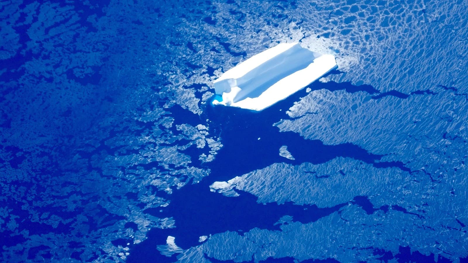
- Image: Iceberg and sea ice near Adelaide Island, west of the Antarctic Peninsula, photographed from a NASA Operation IceBridge flight in November 2016 (file photo). Photo: NASA ICE / NASA via Wikimedia Commons (Public domain).
- Author: Ryan Standley / Record of Sale, LLC / Notice Nearby.
- Discussed on @NoticeNearYou: (pending — fill xPostUrl after live post).
- Not legal advice. Not a newspaper. Not Legal Publication. Record of Sale, LLC (Oregon).
Space desk · Notice Nearby public papers shelf. @NoticeNearYou post pending.
Not legal advice. Not a newspaper. Not Legal Publication. Record of Sale, LLC (Oregon).