Public paper · October 13, 2026 · Weather desk
National Weather Service: Flood Watches Cover Wichita, Topeka and Eastern Kansas Plus West-Central Missouri Tuesday Night Into Wednesday Morning, With Rain Rates Near 2 Inches an Hour
Four National Weather Service offices — Wichita, Topeka, Kansas City/Pleasant Hill and Springfield — issued Flood Watches early Tuesday for 32 counties in central and eastern Kansas and west-central Missouri, running from Tuesday afternoon or evening until 10 a.m. CDT Wednesday as storms with rain rates near 2 inches an hour and totals up to 2 to 4 inches could flood creeks, streets and low spots.
noticenearby.com/papers/nws-flood-watches-kansas-western-missouri-oct-13-14.pdf
The National Weather Service (NWS) has put a large part of central and eastern Kansas and west-central Missouri under Flood Watches from Tuesday afternoon, October 13, 2026 through 10 a.m. CDT Wednesday, October 14. Four NWS offices issued the watches between 1:31 a.m. and 2:15 a.m. CDT Tuesday.
A Flood Watch means flooding is possible. It is not a warning. The NWS says people in flood-prone areas should be ready to act and watch for Flood Warnings.
Where the watches are
- NWS Wichita (5 p.m. CDT Tuesday to 10 a.m. CDT Wednesday): Marion and McPherson in central Kansas; Chase in east-central Kansas; Butler, Harvey, Kingman, Reno and Sedgwick in south-central Kansas; Allen, Greenwood and Woodson in southeast Kansas.
- NWS Topeka (Tuesday afternoon to 10 a.m. CDT Wednesday): Anderson, Coffey, Douglas, Franklin, Lyon, Morris, Osage, Shawnee and Wabaunsee counties in east-central Kansas.
- NWS Kansas City/Pleasant Hill (7 p.m. CDT Tuesday to 10 a.m. CDT Wednesday): Linn and Miami in Kansas; Bates, Cass, Henry, Johnson and Pettis in Missouri.
- NWS Springfield (10 p.m. CDT Tuesday to 10 a.m. CDT Wednesday): Bourbon in Kansas; Benton, Morgan, St. Clair and Vernon in Missouri.
What forecasters expect
- Topeka: thunderstorms forming in a very moist air mass by Tuesday evening, with rain rates around 2 inches per hour. The office says the watch may need to be extended into Thursday if more rounds of heavy rain become likely.
- Wichita: scattered to numerous storms with high rainfall rates moving east to northeast over the same areas from late afternoon through the night, which could cause localized flooding.
- Springfield: forecast rainfall totals of up to 2 to 4 inches.
- All four offices warn that runoff may flood rivers, creeks, streams and other low-lying areas. Wichita adds city streets and underpasses.
What to do
- Never drive into water over a road. The NWS safety message is "Turn Around, Don't Drown." The NWS says as little as 12 inches of moving water can carry away most cars.
- Know whether your home, school route or workplace sits near a creek or low-water crossing.
- Keep a way to get alerts overnight, such as a weather radio or phone alerts. Much of the heavy rain is expected after dark.
- Safety tips are at weather.gov/safety/flood.
Times in this paper are Central Daylight Time, as issued. 10 a.m. CDT is 8 a.m. PDT.

Source
- National Weather Service active alerts (api.weather.gov), Flood Watch products issued October 13, 2026 by NWS Wichita KS (2:15 a.m. CDT), NWS Kansas City/Pleasant Hill MO (2:05 a.m. CDT), NWS Springfield MO (1:49 a.m. CDT) and NWS Topeka KS (1:31 a.m. CDT).
Notes and sources
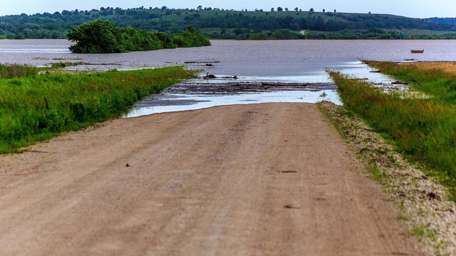
- Image: A road and bridge under water after heavy rain in Marshall County, Kansas, June 2015 (file photo, illustrative; not current flooding). Photo: Steve Zumwalt / FEMA via Wikimedia Commons (Public domain).
- Author: Ryan Standley / Record of Sale, LLC / Notice Nearby.
- Discussed on @NoticeNearYou: (pending — fill xPostUrl after live post).
- Not legal advice. Not a newspaper. Not Legal Publication. Record of Sale, LLC (Oregon).
Weather desk · Notice Nearby public papers shelf. @NoticeNearYou post pending.
Not legal advice. Not a newspaper. Not Legal Publication. Record of Sale, LLC (Oregon).