Public paper · October 11, 2026 · Weather desk
National Weather Service: Winter Storm Warnings Across Central Montana Call for Heavy, Wet Snow Through Monday Morning, Up to 20 Inches Along the Rocky Mountain Front
National Weather Service offices in Great Falls, Billings and Missoula have Winter Storm Warnings out for much of central and southwest Montana into Monday, October 12, with 7 to 14 inches in valleys like Cascade County and 10 to 20 inches along the Rocky Mountain Front. Tree damage and power outages are possible.
noticenearby.com/papers/nws-montana-winter-storm-warnings-heavy-wet-snow-oct-11.pdf
An early-season storm has put much of central and southwest Montana under Winter Storm Warnings from the National Weather Service (NWS), according to active alerts on api.weather.gov as of early Sunday, October 11, 2026. Warnings run until 6 a.m. to noon MDT Monday, October 12, depending on the area.
Where and how much (NWS Great Falls)
- East Glacier Park region, Northern and Southern High Plains, Southern Rocky Mountain Front, Upper Blackfoot and MacDonald Pass, Gates of the Mountains: 10 to 20 inches of heavy, wet snow, up to 7 inches in the Lincoln valley, and isolated amounts near 30 inches in the Bob Marshall Wilderness. Gusts to 45 mph. Until 6 a.m. Monday.
- Cascade County below 5,000 feet, Meagher County valleys, eastern Pondera and Teton, Judith Basin County and Judith Gap: 7 to 14 inches. Gusts to 35 mph. Until 6 a.m. Monday.
- Little Belt, Highwood, Snowy, Judith, Elkhorn and Boulder Mountains: 8 to 16 inches. Until 6 a.m. Monday.
- Big Belt, Bridger and Castle Mountains: 6 to 14 inches.
- Gallatin Valley: wet snow advisory Sunday, then a warning from 6 p.m. Sunday to 9 a.m. Monday for 4 to 8 inches. NWS says it will affect the Monday morning commute.
NWS Billings and Missoula
- Absaroka/Beartooth and Crazy Mountains: 10 to 18 inches. Travel into Cooke City may be affected. Until noon Monday.
- Judith Gap and the Melville Foothills: 4 to 10 inches with blowing snow. NWS warns US-191 will be very difficult.
- Butte/Blackfoot region (NWS Missoula): 3 to 9 inches, 12 to 18 inches in the high country, including MacDonald Pass, Homestake Pass, Georgetown Lake and Butte.
What could happen
NWS says the heavy, wet snow and gusty winds could bring down tree branches and power lines, so outages are possible. Snow will pile up much more on grass than on roads at lower elevations, mostly from evening through late morning.
What to do
If you must travel, keep an extra flashlight, food and water in the vehicle, and call 511 for road conditions. Anyone heading into the high country should tell someone their plans. Check weather.gov for updates, since warnings can be extended or changed.
Source
- National Weather Service active alerts (api.weather.gov): Winter Storm Warnings from NWS Great Falls (issued 10:40 p.m. MDT Oct 10), NWS Billings (12:57 a.m. MDT Oct 11) and NWS Missoula (11:42 a.m. MDT Oct 10).
Notes and sources
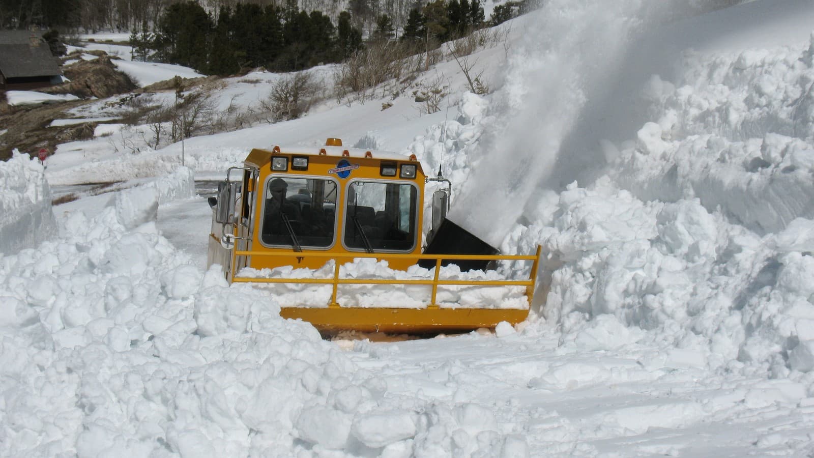
- Image: Snowplow clearing deep snow in the Many Glacier Valley, Glacier National Park, Montana (file photo). Photo: GlacierNPS via Wikimedia Commons (Public domain).
- Author: Ryan Standley / Record of Sale, LLC / Notice Nearby.
- Discussed on @NoticeNearYou: (pending — fill xPostUrl after live post).
- Not legal advice. Not a newspaper. Not Legal Publication. Record of Sale, LLC (Oregon).
Weather desk · Notice Nearby public papers shelf. @NoticeNearYou post pending.
Not legal advice. Not a newspaper. Not Legal Publication. Record of Sale, LLC (Oregon).