Local brief
High Wind Warning for Tucson metro and southeast Arizona (Thursday night through Friday night)
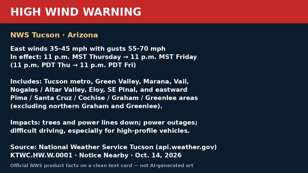
The National Weather Service in Tucson issued a High Wind Warning at 10:22 a.m. MST Wednesday, Oct. 14, from 11 p.m. Thursday to 11 p.m. MST Friday for central Pima County eastward (excluding northern Graham and Greenlee). East winds 35–45 mph with gusts 55–70 mph. Trees and power lines can come down.
The National Weather Service in Tucson issued a High Wind Warning at 10:22 a.m. MST on Wednesday, Oct. 14, 2026 (KTWC.HW.W.0001). It is in effect from 11 p.m. MST Thursday, Oct. 16, to 11 p.m. MST Friday, Oct. 17 (same clock times PDT).
Get prepared: https://noticenearby.com/prepare
What NWS says: East winds 35 to 45 mph with gusts 55 to 70 mph are expected in the High Wind Warning area. A related Wind Advisory covers east winds 25 to 35 mph with gusts 50 to 60 mph from 11 p.m. Friday to 2 p.m. MST Saturday.

Where: From central Pima County eastward, excluding northern Graham and Greenlee Counties. Named areas include Tucson metro (Tucson, Green Valley, Marana, Vail), Upper Santa Cruz River and Altar Valleys including Nogales, south-central Pinal including Eloy and Picacho Peak State Park, and southeast Pima and adjoining counties.
Impacts: Damaging winds can blow down trees and power lines. Widespread power outages are possible. Travel will be difficult, especially for high-profile vehicles.
Sources: National Weather Service Tucson High Wind Warning via api.weather.gov (https://api.weather.gov/alerts/urn:oid:2.49.0.1.840.0.ef715ecd58bdd055f37b1612da59ab2e48cf7a6c.001.1). Verified on the active NWS alert list Wednesday, Oct. 14. Notice Nearby wrote this brief in its own words.
Source: the public notice on this register NN-NWS-20261014-KTWC-HW-W-0001 · National Weather Service Tucson High Wind Warning.
This is a Notice Nearby local brief — an in-house explainer written from a government-posted notice on this register. It is not official minutes, not a newspaper story, and not Legal Publication.